Bank Holiday Monday Brings a Glimmer of Sunshine After a Soaked Weekend
Traveloasisspot.com – The long weekend that has battered parts of southern England with relentless downpours and muddy conditions appears set to ease slightly on Monday, with forecasters predicting a patchwork of bright intervals interspersed with showers that may intensify and carry occasional thunder. For festivalgoers who spent Saturday and Sunday huddled beneath plastic ponchos at Reading and Leeds, the prospect of drier spells offers a small reprieve before the weekend’s final acts.
Weekend Deluge Leaves Its Mark
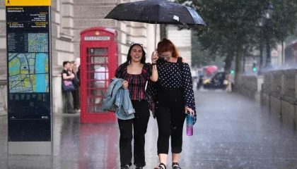
The scale of the rainfall over the past two days has been considerable. At Bradworthy Common in Devon, gauges recorded 34.2 millimetres of precipitation within a single twelve-hour window on Sunday — a figure that exceeds one-third of the typical August total for the county. Such concentrated downpour, arriving after weeks of extreme dryness, has saturated ground that had been baked hard by earlier heatwaves, increasing runoff and the likelihood of rapid-onset flooding in low-lying areas.
The consequences were already visible by Sunday evening. A formal flood warning was issued for Spadesbourne Brook near Bromsgrove in Worcestershire, signalling that flooding was expected rather than merely possible. Across the wider region, fifteen separate areas fell under Environment Agency flood alerts, indicating that water levels were approaching thresholds where localised inundation could occur. For residents in those zones, the message was straightforward: expect water where it should not be, and act accordingly.
What the Weekend Looked Like
At Reading Festival, the weather turned the grounds into a mudbath. Attendees were filmed flinging clods at one another, wading through ankle-deep puddles, and hunching beneath translucent ponchos as sheets of rain hammered the stages. The spectacle was less a concert experience than an improvised water park, with many fans choosing to embrace the chaos rather than seek shelter.
The disruption extended beyond the festival circuit. Cricket at Lord’s in London was suspended on Saturday as rain made the outfield unplayable, forcing a pause in what had been a closely contested match. Organisers of Creamfields and other outdoor music events had issued advance warnings about unseasonably strong winds, compounding the discomfort for anyone caught outside without adequate preparation.
Monday’s Forecast: Brighter, but Not Dry
Met Office senior operational meteorologist Dan Stroud outlined the expected pattern for the remainder of the holiday period:
“It’s another day of sunny spells and showers, a generally bright but cloudy start with sunny spells in the east, we will have some showers from the get-go in the west and they will become a bit more heavy, the odd rumble of thunder is possible.”
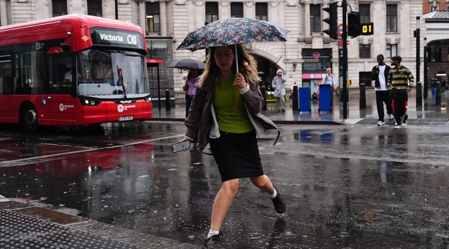
Stroud characterised Monday as the most favourable of the three remaining days, noting that while showers would persist, their frequency and intensity would be markedly lower than what had been experienced over the preceding weekend. The eastern regions stood to benefit from longer gaps between cells, while western areas would continue to see more frequent and heavier precipitation.
Tuesday and Wednesday: A Diverging Picture
The outlook sharpens considerably after Monday. Tuesday across England and Wales is expected to deliver reasonably fine conditions with extended periods of sunshine, offering genuine relief for those still in the region. Scotland, however, sits outside that improvement, with a persistent band of cloud and rain tracking across the northern parts of the country.
“Tuesday across England and Wales promises to be reasonably fine with some lengthy sunny spells. It’s a different story across Scotland. We’ve got a band of cloud and rain.”
Wednesday marks a reversal. Conditions deteriorate through the day, turning increasingly cloudy and wet, with the worst effects concentrated across Wales and northern England. Anyone planning outdoor activities later in the holiday should factor in the possibility of prolonged rainfall and reduced visibility.
The Broader Summer Context
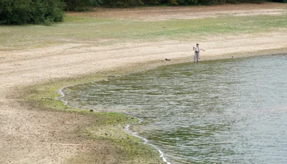
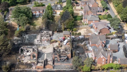
This weekend’s downpour arrives against a backdrop of an extraordinary summer. The UK has endured five distinct heatwaves this year, with temperatures reaching 38.1 degrees Celsius in London. The Met Office has indicated the country is on track for its hottest summer on record. The contrast between weeks of scorching, drought-like conditions and the sudden deluge of the past two days illustrates the volatility now characterising British weather patterns. Ground that had been desiccated and compacted by heat absorbed rainfall far more aggressively than normal, accelerating surface runoff and elevating flood risk in ways that would not have occurred under typical seasonal conditions.
For communities still recovering from earlier heat-related disruptions — from water restrictions to infrastructure strain — the shift to saturated conditions introduces a different set of challenges: disrupted travel, cancelled outdoor events, and the logistical burden of managing flood responses. The bank holiday, intended as a period of leisure, has instead become a test of resilience for both event organisers and local authorities tasked with keeping people safe through rapidly changing conditions.
Related Reading
Frequently Asked Questions
What is Bank holiday Monday to see sunny?
Bank holiday Monday to see sunny is the main topic of this guide. The article explains the context, practical details, and next steps readers should understand.
Why does Bank holiday Monday to see sunny matter?
Bank holiday Monday to see sunny matters because readers are looking for a useful answer, not just a short summary. Good content should match search intent and help them decide what to do next.